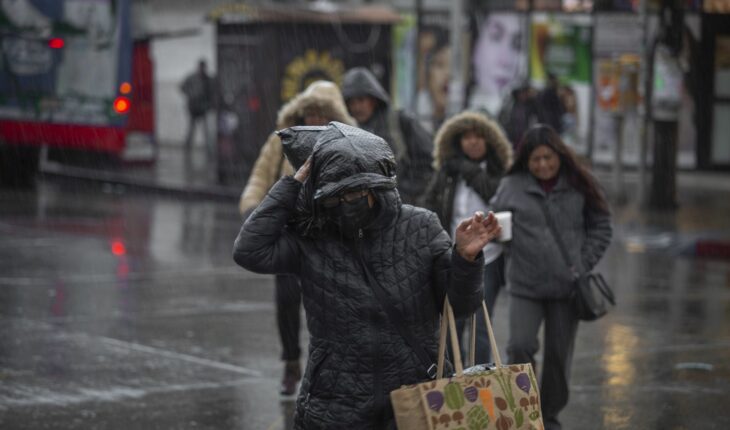
The cold front number 18 will extend from the Gulf of Mexico to the Yucatan Peninsula and the southeast of the country, causing heavy to very heavy rains in Veracruz, Oaxaca, Tabasco and Chiapas, reported the National Meteorological Service (SMN).
In high areas of Chihuahua and Durango, temperatures below -5°C (degrees Celsius) are expected; in Baja California, Sonora, Coahuila, Nuevo León, San Luis Potosí, Zacatecas, Aguascalientes, Guanajuato, Estado de México, Tlaxcala, Hidalgo and Puebla, temperature from -5 to 0°C.
Meanwhile, in Baja California Sur, Jalisco, Michoacán, Querétaro, Mexico City, Tamaulipas, Veracruz, Oaxaca and Chiapas, from 0 to 5°C.
In addition, the cold air mass associated with the front, will maintain a strong to very strong “North” event on the central and southern coast of Veracruz, Isthmus and Gulf of Tehuantepec.
#FrenteFrío No. 18 will cause #EventoDeNorte in some regions of #México. More details in https://t.co/CKEnUOIk82 pic.twitter.com/avrmcKhOhw
— CONAGUA Clima (@conagua_clima) December 21, 2022
During the night the entry of the cold front number 19 is expected and its arctic air mass will mainly affect the north and northeast of the country.
The SMN foresees wind with gusts of 60 to 80 kilometers per hour (km / h) in Coahuila, Nuevo León and San Luis Potosí and “North” event with wind gusts of 80 to 100 km / h and waves of 2 to 4 meters high on the coasts of Tamaulipas, extending during the early hours of Friday towards Veracruz.
Likewise, the possible fall of sleet or snow is expected in maximum elevations of Coahuila, Nuevo León and Tamaulipas.
What we do at Animal Político requires professional journalists, teamwork, dialogue with readers and something very important: independence. You can help us keep going. Be part of the team.
Subscribe to Animal Político, receive benefits and support free journalism#YoSoyAnimal


