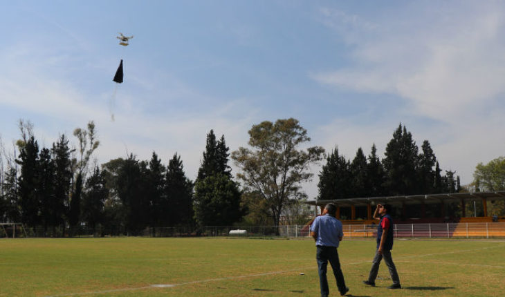
-Morelia, Michoacan.-as part of the program “mission space Michoacán, Pico-Satellite”, the Instituto Tecnológico de Morelia (ITM), “José María Morelos and Pavón”, will be venue for next Friday 15 of February is made the first release of a Pico-satellite, of a series of five releases, which have been scheduled this year from different sites in the State.
This activity is carried out within the framework of the national strategy to promote and strengthen the popularization of science, technology and innovation in the federative entities: Michoacán 2018 and is organized by the Institute of science, technology and innovation of Michoacán (ICTI) coordinated with the Latin-American Society of science and technology (SOLACyT) and the ITM.
The launch will be from the premises of the ITM, where students and professors in the Department of electronic engineering are also working to make a second launch of a device’s own creation.
The ITM will participate in this activity are: Oscar Olmos Rodriguez, Daniel Durán Durán, Claudia Lizeth Rodríguez González, Paola Rangel Vega, Guillermo Pablo Rallo, Juan Daniel Santoyo Arreola, Luis Enrique Gabriel Leon, Javier Alexander Santana Bazan, Marco Antonio Gómez Villagomez, Gladis Duran Duran and Daniel Gomez Lopez. The careers to which they belong are the engineering in electronics, mechanics and materials of seventh, eighth and ninth semester. Young people are advised by the professors Arturo Méndez Patiño and Eduardo Avila Ojeda.
A picosatellite is an electronic device that takes its name from its weight of just 500 grams, but that has all the electronics of a larger non-orbital satellite. Also referred to as CanSat for being a satellite the size of a tin can, that using a helium-filled balloon rise up to heights of more than 20 or 30 thousand meters, reaching record temperatures of 50 degrees Celsius below zero. As a reference, a commercial aircraft flying at an altitude of 11 thousand meters on average.
The picosatellite made a constant communication with a base on earth that can track via GPS and thus can be located at all times. They have sensors aboard that monitor temperature, pressure, altitude and some environmental variables in addition to video footage and photographs of the space.
The satellite recovery is achieved by natural conditions, since bursts the balloon that rose up to the stratosphere and begins its descent by means of a parachute, a group of ground support follows him through the transmission of its geo-positioning. It has an average of 50% of chance of recovery.
Source: Monitor Expresso
translated from Spanish: Tecnológico de Morelia to launch a pocosatelite
February 8, 2019 |


