For this day, a low pressure channel will continue to be present in the interior of the country and another over the Yucatan Peninsula, they will interact with the entry of moisture from the Pacific Ocean, Gulf of Mexico and Caribbean Sea, as well as with instability in high levels of the atmosphere, leading to rains with intervals of showers in northern states, center, east and south of the national territory, as well as in the Yucatan Peninsula, being heavy punctual rains in Puebla, Guerrero, Oaxaca and Chiapas. The rains mentioned will be accompanied by electric shocks, gusts of wind and possible hail. For its part, a dry line in northern Mexico, in combination with the subtropical jet stream will cause strong winds with possible tolvaneras in the northwest, north and northeast of the Mexican Republic, in addition to heavy point rains in Coahuila. An anticyclonic circulation in medium levels of the atmosphere will maintain the third heat wave over the national territory, forecasting temperatures above 40 ° C in 19 states of the country. The first tropical wave of the season will move over the Gulf of Tehuantepec, without generating effects on the national territory.
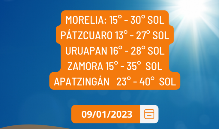
Clear sky and hot day for this day in Michoacán
June 9, 2023 |


