Today, Thursday, tropical wave No. 27 will move over the southeast and south of the national territory, later interacting with a low pressure channel that will be located southwest of the Gulf of Mexico, leading to intense point rains in Oaxaca, Chiapas, Veracruz, Tabasco, Campeche, Yucatan and Quintana Roo. For its part, the entry of moisture from both oceans, will cause showers and heavy to very heavy rains in areas of central Mexico, including the Valley of Mexico. In turn, tropical wave No. 26 will move southwest of the coasts of Colima and Jalisco, together with the entry of moisture from the Pacific Ocean, will cause heavy to very heavy point rains in the west of the country. Meanwhile, the Mexican monsoon will generate showers and heavy rains with very strong points in the northwest of the Mexican Republic. Also, tropical cyclone Jova will move west-northwest and will be located southwest of the coasts of Baja California Sur, moving away from the national territory, however, it will reinforce the potential for rainfall in that entity, in addition to high waves of 2 to 4 meters high on the western and southern coast of the state, and 1 to 3 meters high on the coasts of Colima, Jalisco, Nayarit and southern Sinaloa. Finally, the very hot to extremely hot environment will continue on the Pacific coast and Gulf of Mexico, as well as in the north of the country and the Yucatan Peninsula.
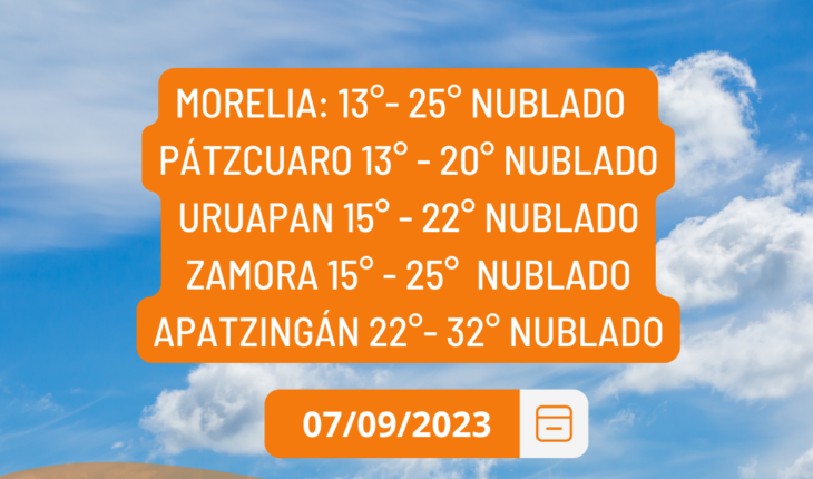
Slightly cloudy sky for this Thursday in Michoacán
September 7, 2023 |


